
What is Geophysical
Surveying and Investigation?
It is the methodical and systemic acquisition and interpretation of geophysical data to uncover subsurface conditions.
Subsurface information is fundamental to many industry sectors for various purposes, e.g., risk assessment, construction design and environmental impact.
Scurbàt can assist in delineating a vast range of subsurface features, such as depth to rock for efficient piling and foundation design, compaction effectiveness for a new road or sediment thickneses for the perfect dredging.
Find out more:
Our Services
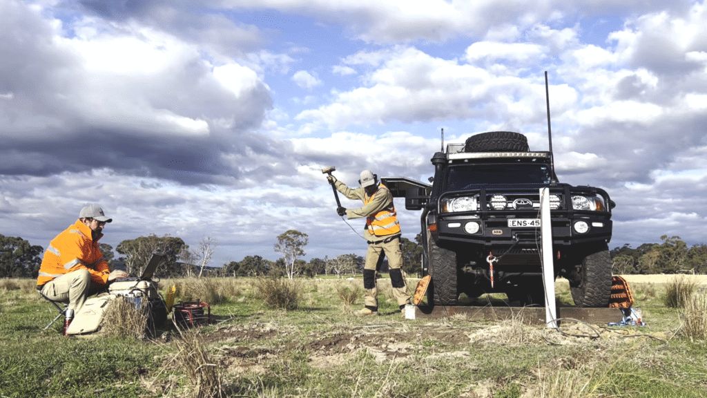
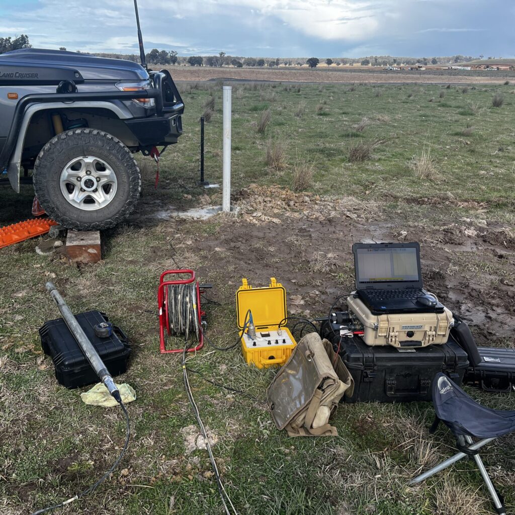
Our Geophysical Survey Methods & Techniques
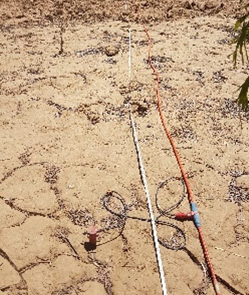
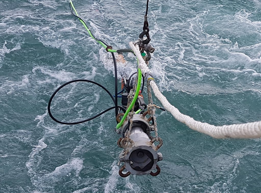
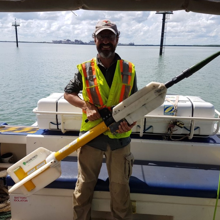
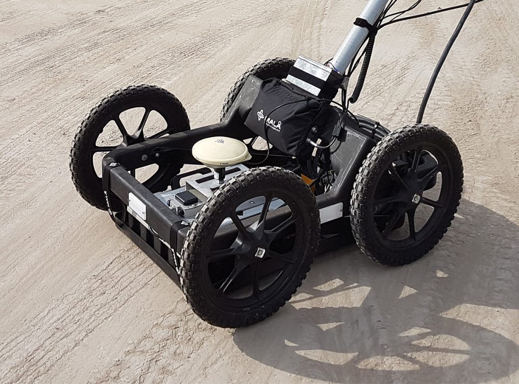
Multi-channel Analysis of Surface Waves (S waves), Electrical resistivity (land and marine), Electromagnetic,
Ground Penetrating Radar, Magnetics (land and marine), downhole seismic and Vertical Seismic Shear-wave Profiling.


Tailored
Best-for-Project
Geophysics

Our Personnel
The personnel at Scurbàt have extensive experience in many geophysical methodologies, in land or marine environments. We also specialise in geophysical surveys for remote areas.
Scurbàt is an Australian-based geophysical services company that operates globally. In combination with our in-house capabilities, we have long-standing relations with specialised operators in the field of geophysics, survey vessels/ barges, shot-firers, logistics, equipment, and data processing.
Our Senior staff includes:
Peter Caffi: Director / Principal Geophysicist; with over 20 years of experience within the engineering and construction sector.
Aleksandr Chekulaev: Geophysicist; over 8 years of experience within the exploration, engineering, and construction sectors.
Alexis Berquand: Geophysical Technician; 6 years of operational, logistical and management experience in the geo-engineering and geophysical fields.

Our Projects
Scurbàt carried out more than fifty projects to date. Many consist of large projects spanning across months, from survey design, fieldwork, processing, interpretation, and reporting. The projects cover a variety of applications and methodologies in:
See more examples of our previous work in our PROJECTS section.