Methodologies
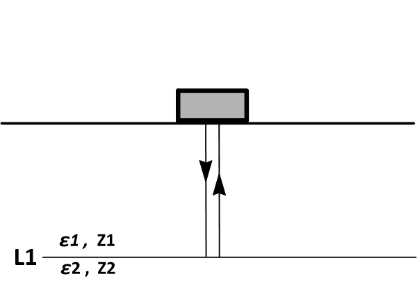
Typically, pulsed EM energy is generated at predetermined station locations along the length of the GPR profile. The travel times and amplitudes of reflected EM energy are recorded by a transmitter–receiver. The recorded travel time–amplitude information is normally used to generate a GPR profile (2-D time–amplitude image). These data can be transformed into a 2-D velocity–depth model.
Modified from “Introduction to Geotechnical Geophysics – N. Anderson and N. Croxton, Circular – Number E-C130, October 2008”.
Ground Penetrating Radar is a very versatile system adaptable to many terrains/environments.
The main scope is to pass the GPR antenna (different frequencies for different applications) over the area of investigation. This can be achieved by using the antenna on its own, mounted on a cart and hand pushed, towed by a vehicle, or pulled via a rope by hand. The methods used can be numerous and decided upon on a project-to-project basis.
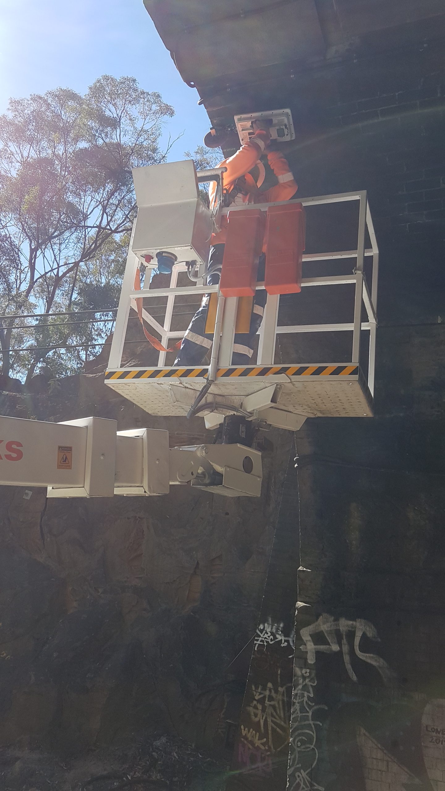
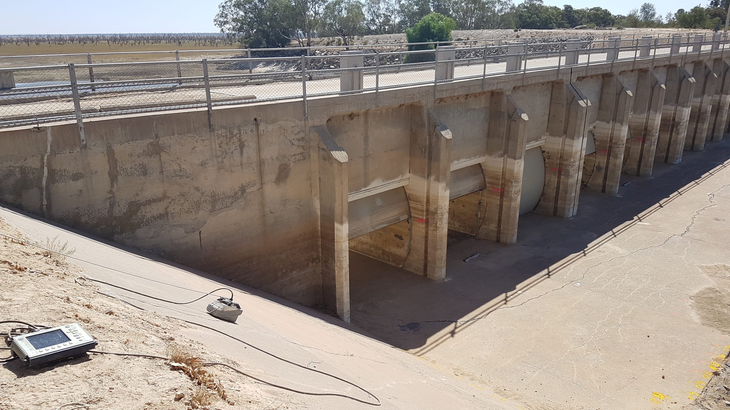
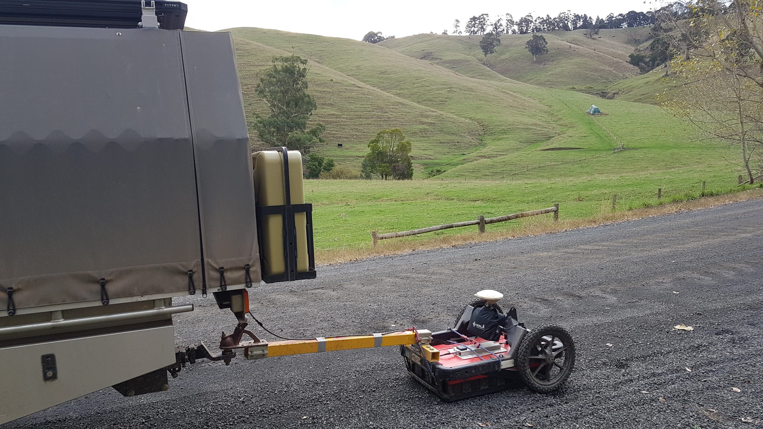
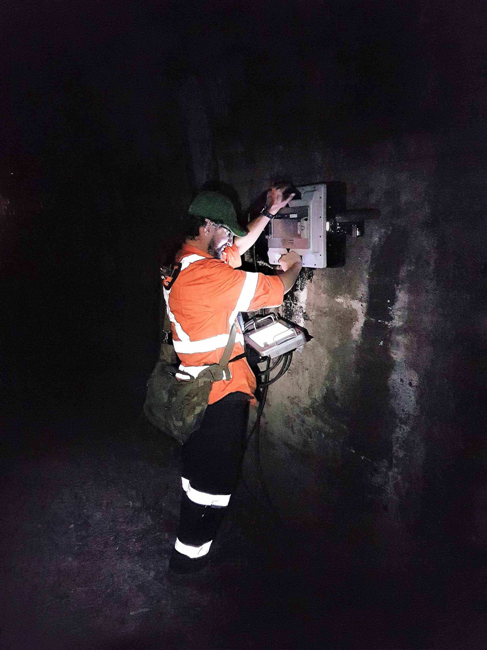

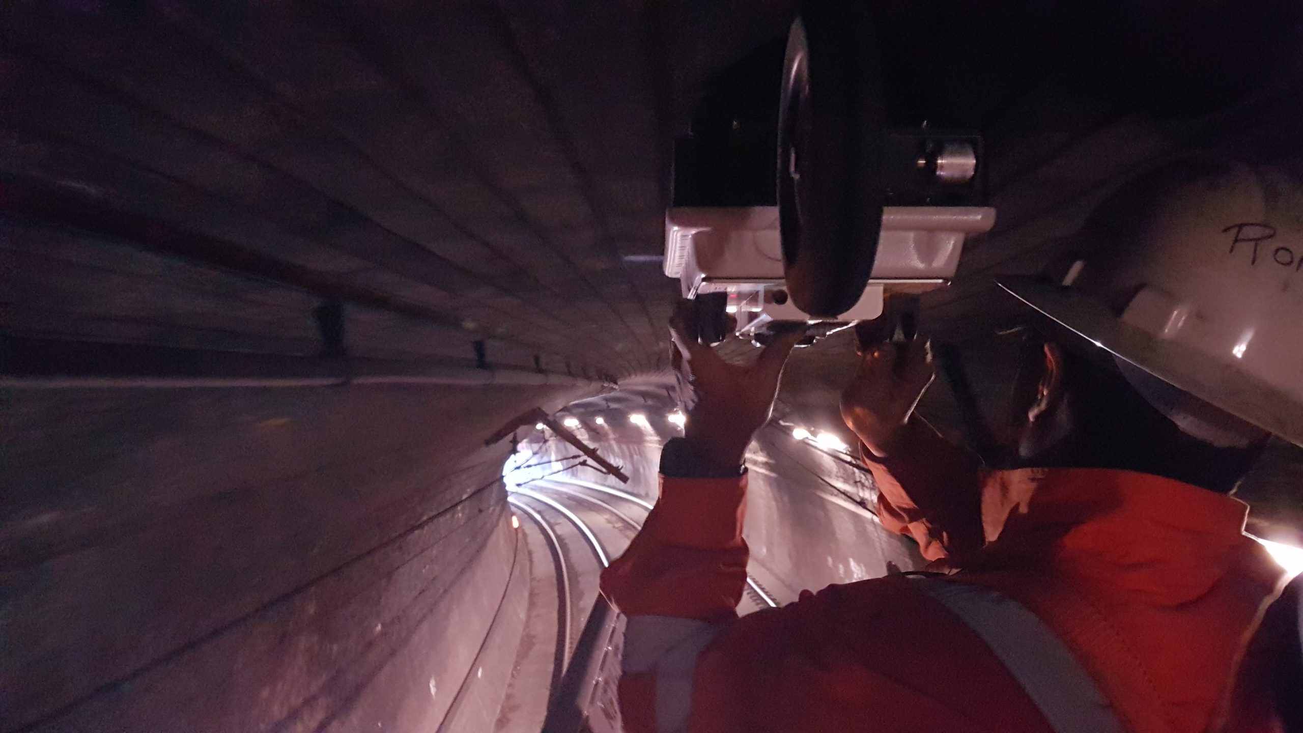
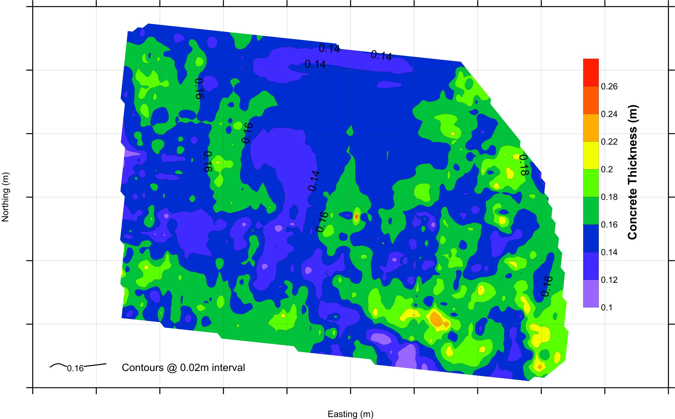
Figure 1: Detailed investigation (i.e., 0.5m line spacing) for concrete thickness mapping.