River Crossing and Transition Zone
River Crossing and Transition Zone
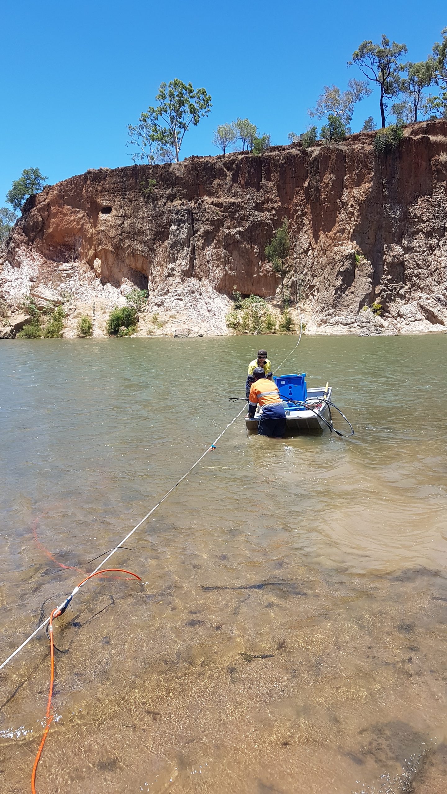
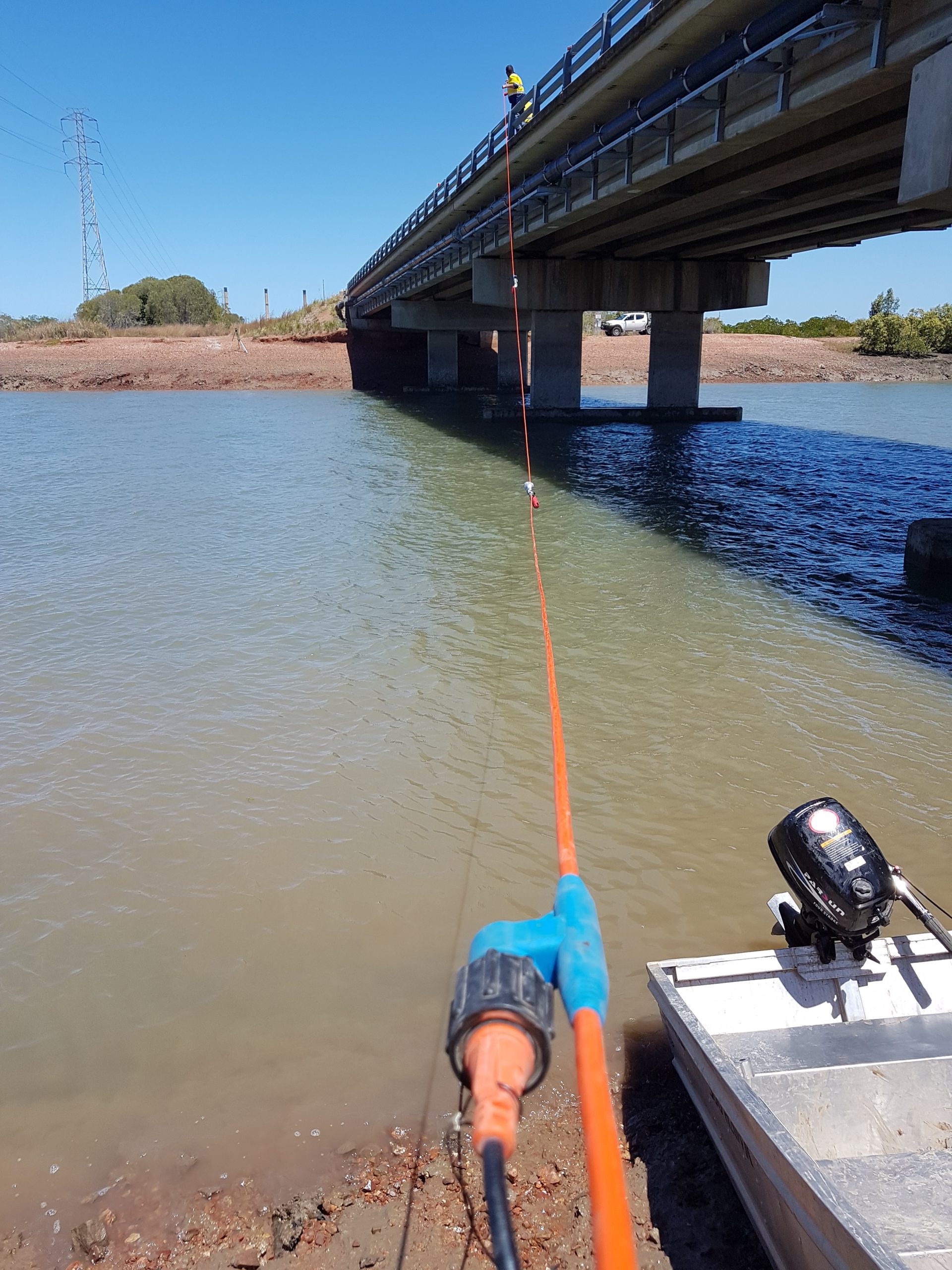
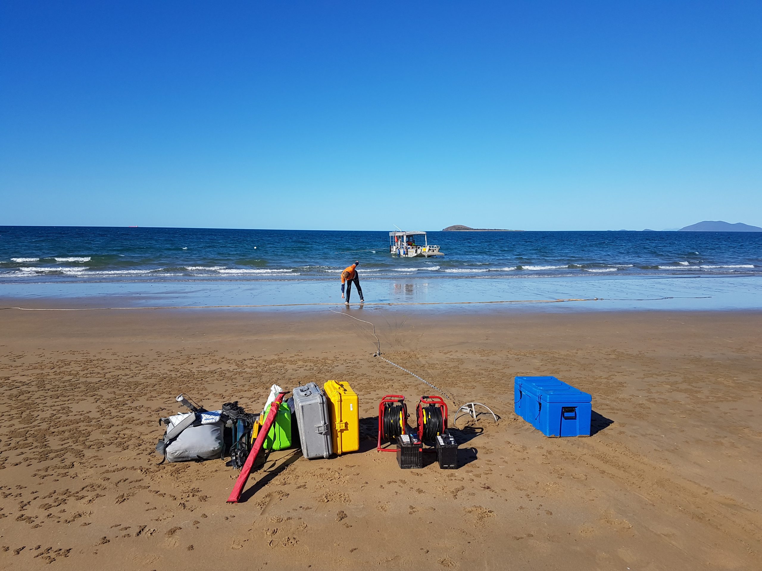
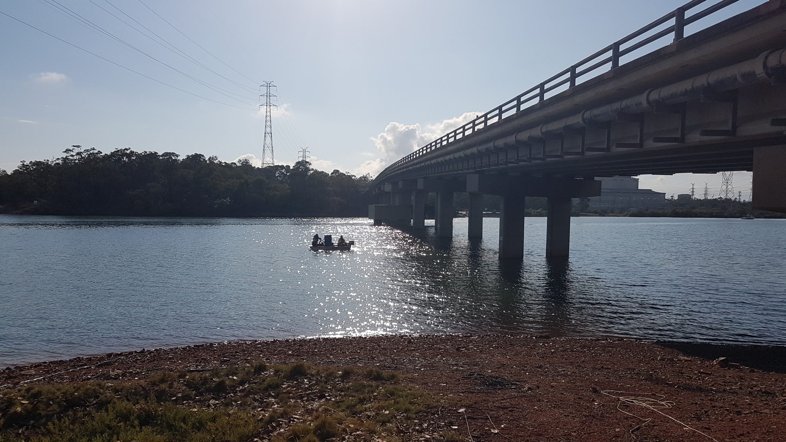
Due to the presence of both land and water components in these environments, the application of geophysics become very challenging, requiring careful technical and logistical consideration, as well as specialised equipment (both geophysical and not) and experience.
In most cases, geophysics is the only feasible investigation due to the nature of the location, e.g., drill rigs position.
The challenging condition to operate in these environments and the necessity for specialised equipment, many geophysical companies choose not to undertake these surveys. However, Scurbat has extensive experience in this type of survey and will be glad to discuss with clients any variable.
Applications:
Bridge footing/foundation, pipelines, piling, Horizontal Directional Drilling (HDD), outfalls, piers
Scope:
- Depth to rock and soil profile – SRT/MSR, Downhole Seismic, SBP, Bathymetry
- Geological structures/features detection/delineation, e.g., faulting and fault zone, dykes – SRT/MSR, Downhole Seismic
- Subsurface assessment of riverbank for abutments – SRT, Downhole Seismic
- Land to sea transition zone subsurface assessment (depth to rock and soil profile) – TZSR