Methodologies
Seismic waves energy is generated using an acoustic source at predetermined locations (S). The travel times and amplitudes of reflected acoustic energy is recorded at predetermined receiver locations (R1, R2, etc.). The recorded travel time–amplitude information is used to generate a reflection seismic profile. This data can be transformed into a velocity–structure profile and 2D contour.
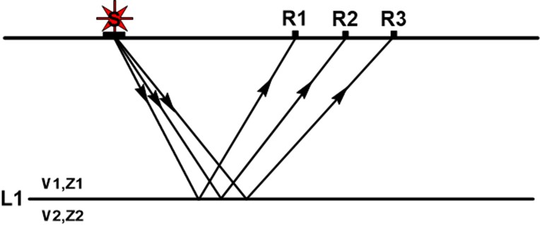
Modified from “Introduction to Geotechnical Geophysics – N. Anderson and N. Croxton, Circular – Number E-C130, October 2008”.
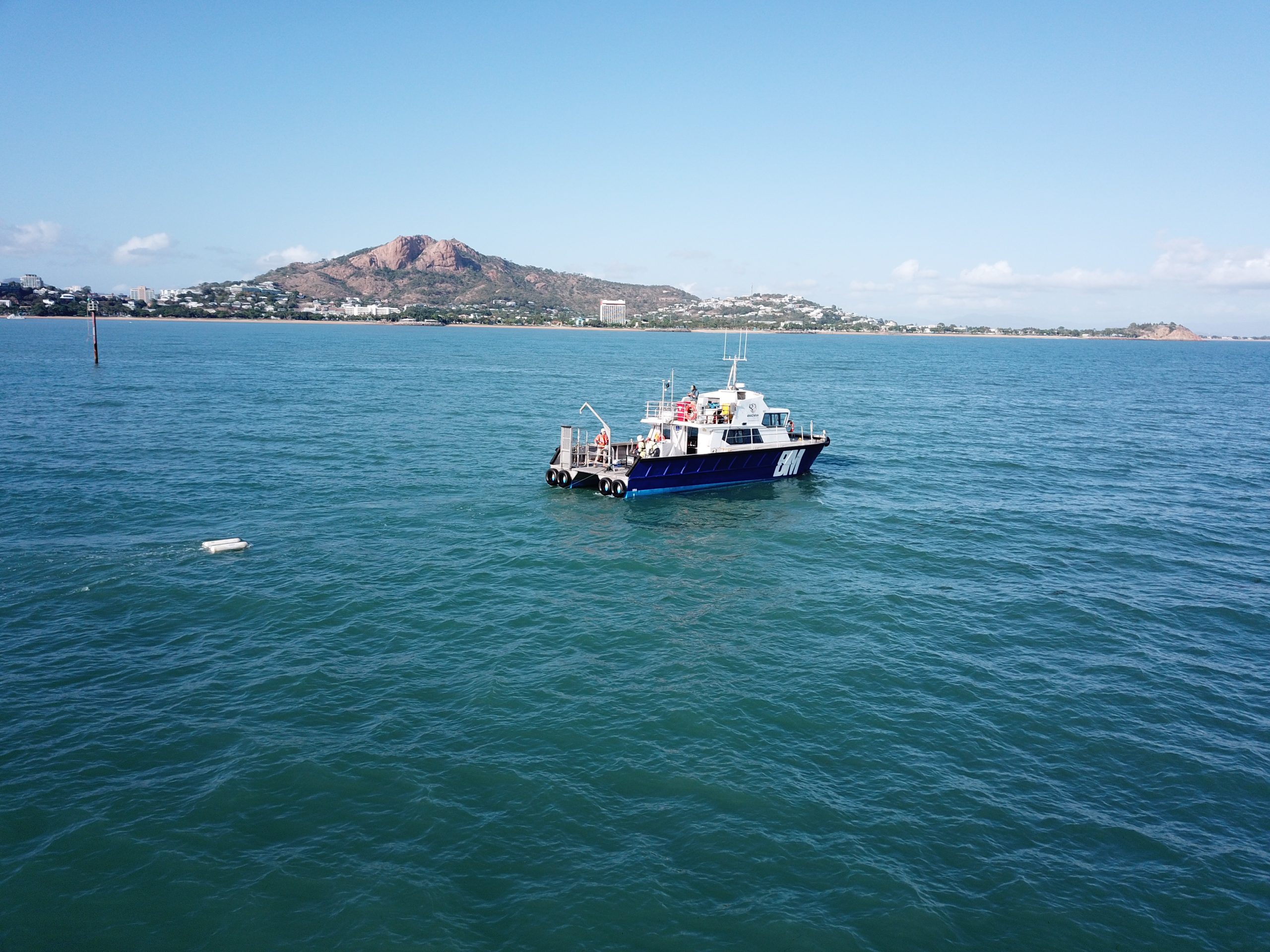
SBP can be surface towed, or hull mounted. In surface towed systems, the seismic receiver consists of several hydrophones placed at different spacing encased in a buoyant “hose”. The seismic source is generated by various systems/frequencies based on the requirement of the investigation and the environment, e.g., boomer, sparker, chirp etc. Seismic source and receiver are towed side-by-side from port and starboard.
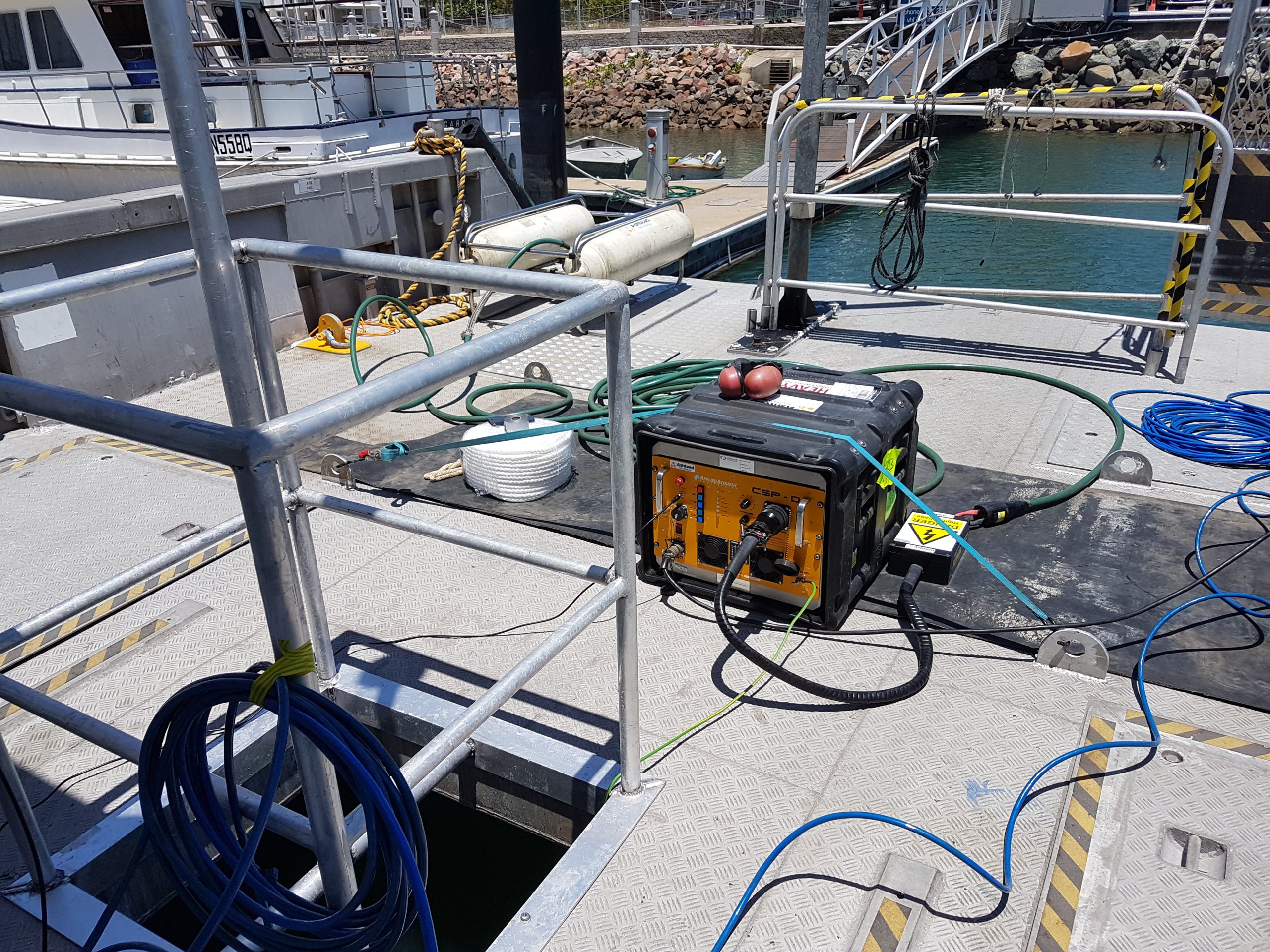
In hull mounted systems the seismic source and receiver are encased in a single unit, which is mounted over the side of the vessel.

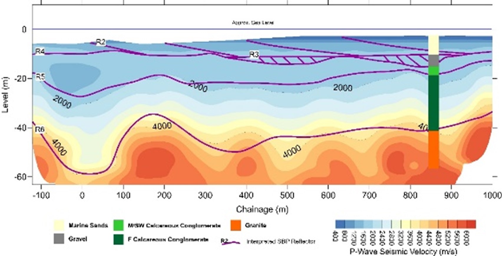
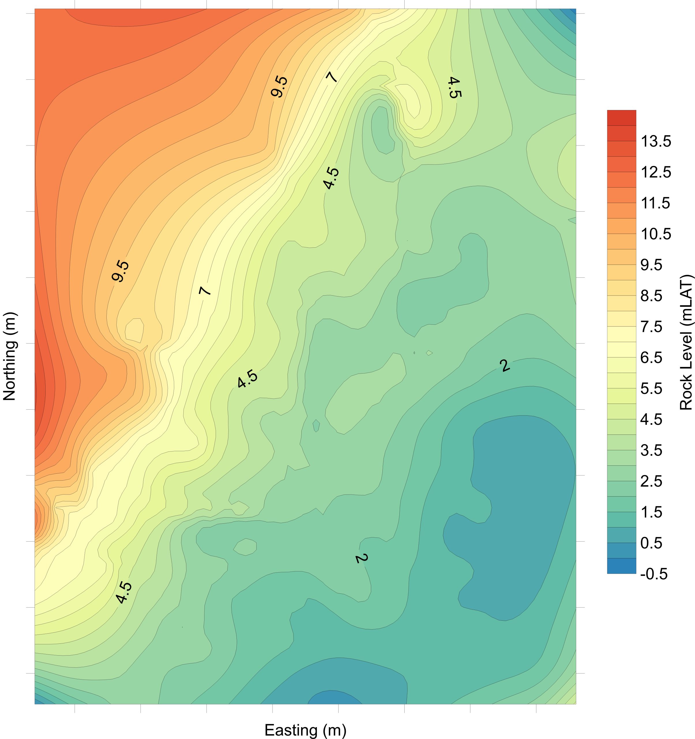
Example 1: Interpolated contoured plot of interpreted rock reflector (50m grid spacing). Area is 1,200m X 900m.
Example 2: Combined Marine Seismic Refraction (MSR) and Sub-Bottom Profiling-SBP