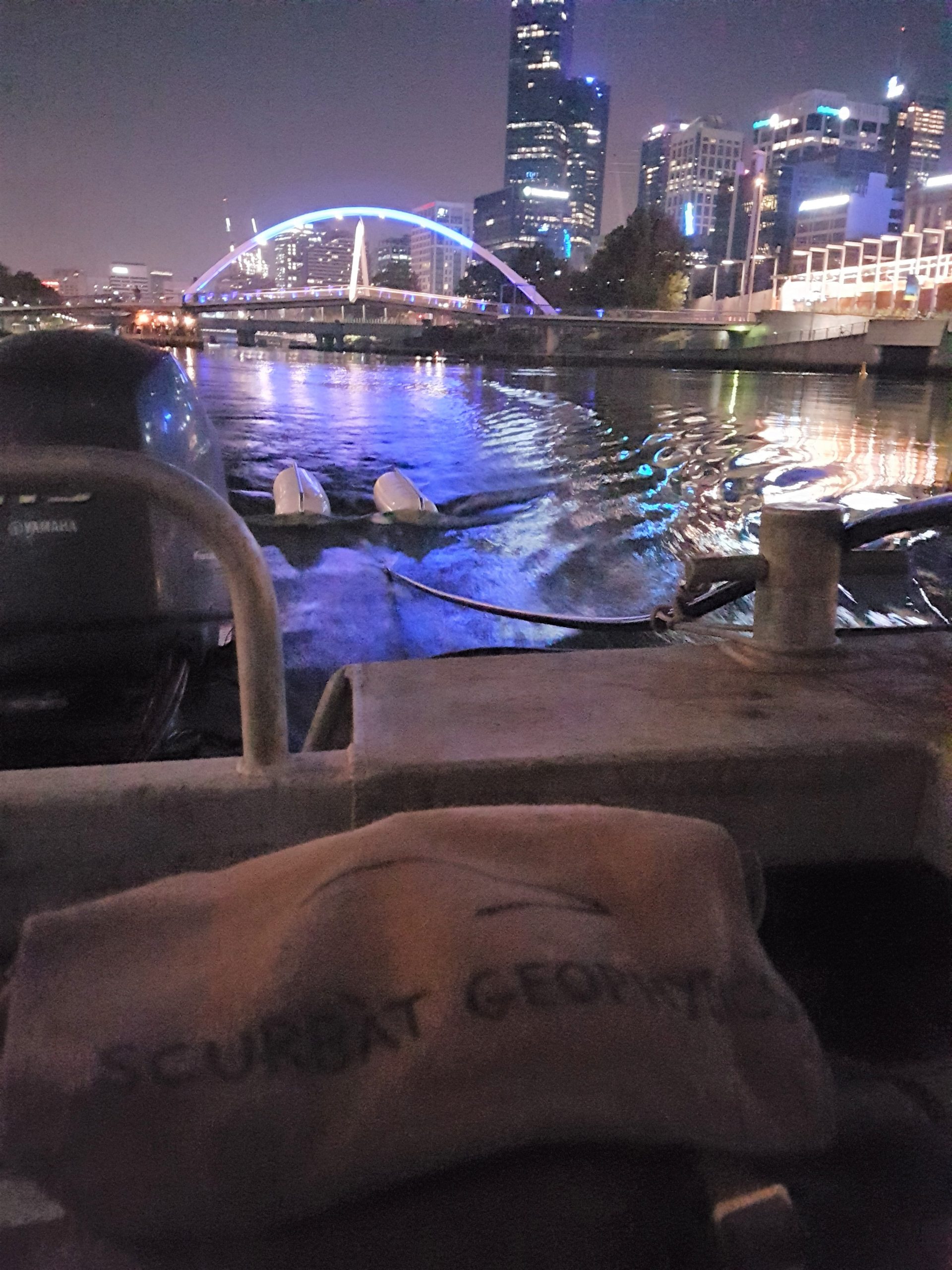
Port development
Port development
The ever-changing needs/requirement/demands of port facilities means that construction, expansion, and maintenance never ends.
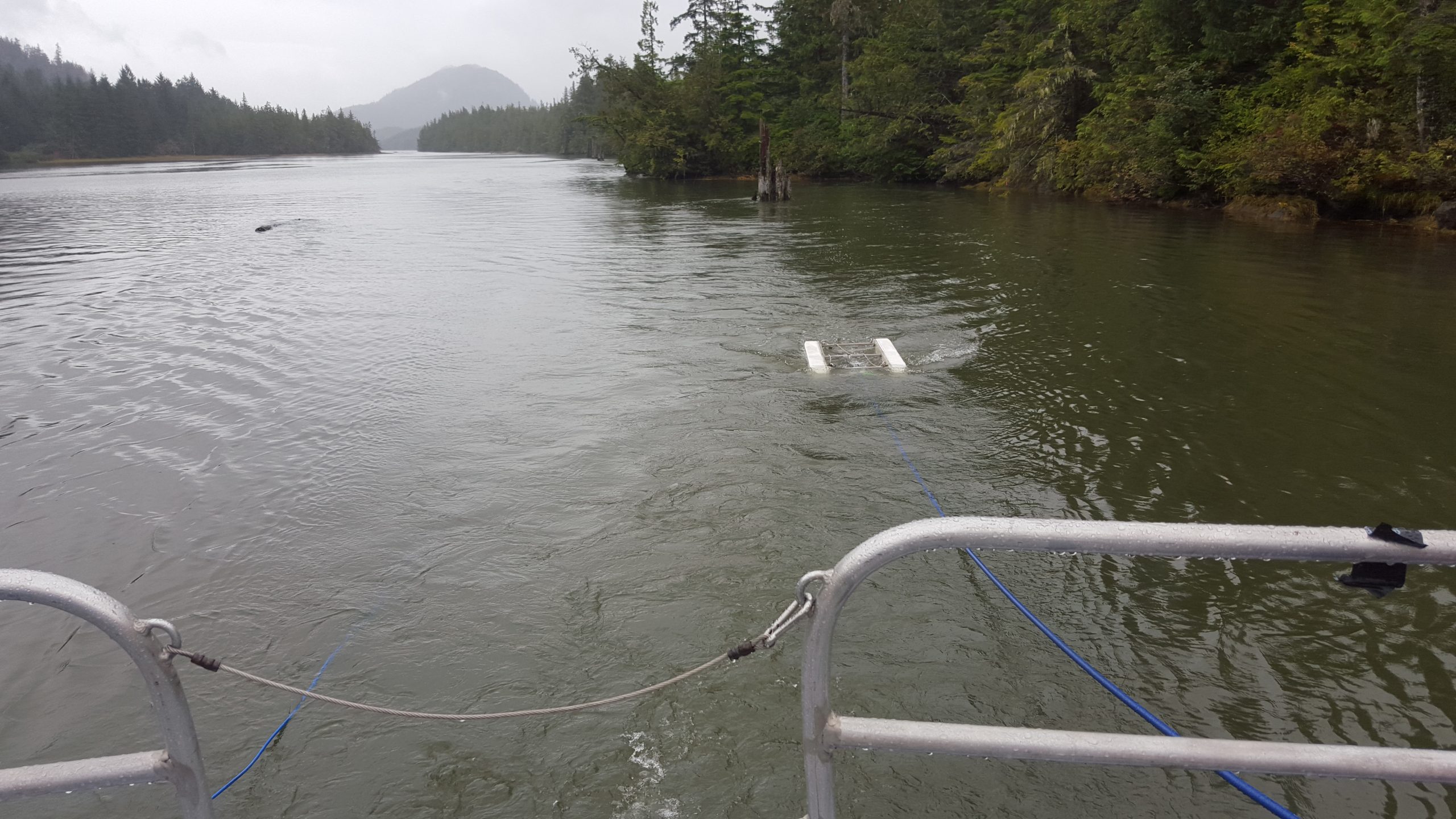
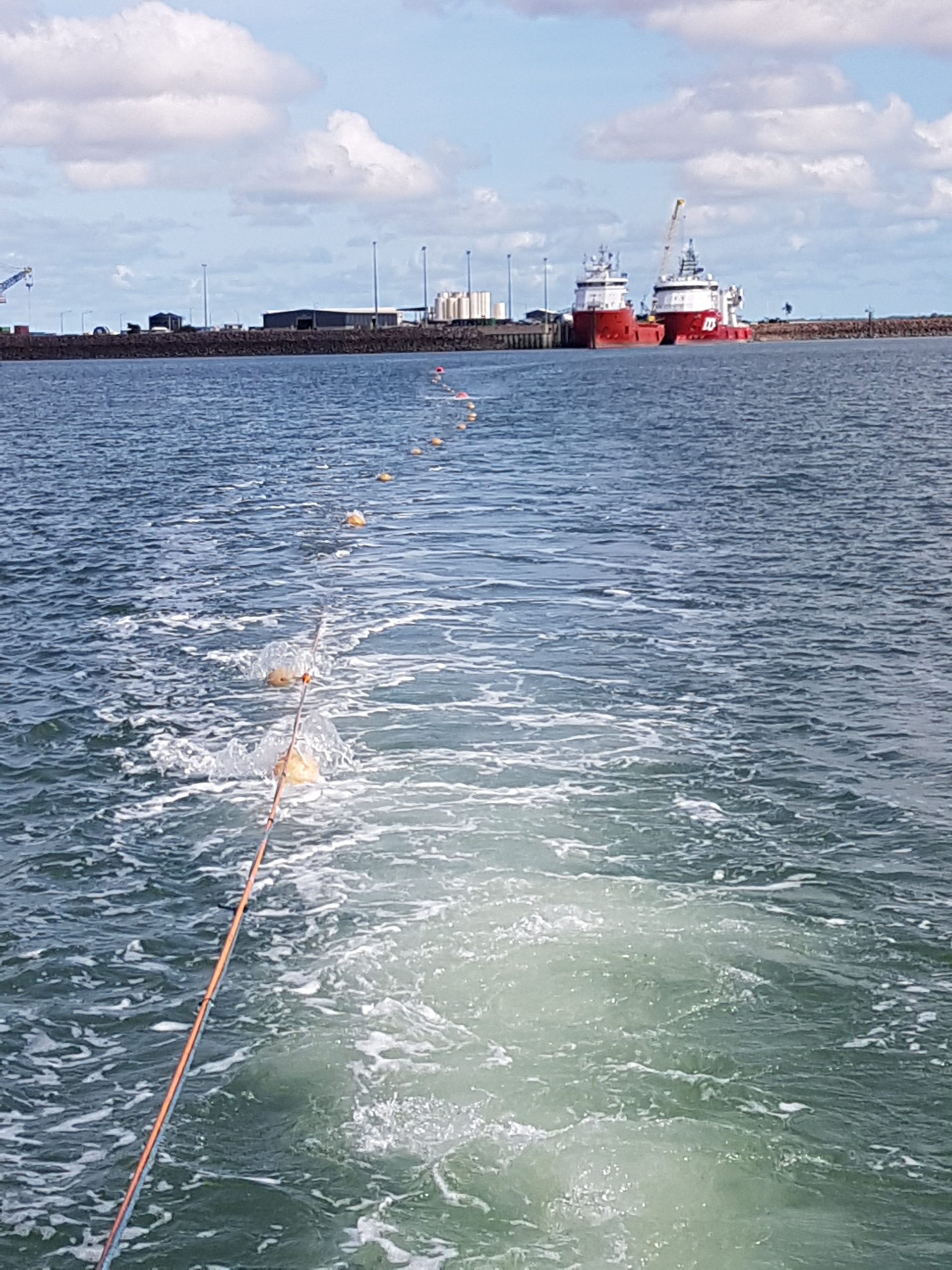
There are many geophysical methodologies that can assist in the mapping and characterisation of the seabed and subsurface. Scurbat has the expertise and capabilities to undertake such investigations to address the client’s requirement.
Applications:
Dredging, reclamation, jetty, MOF, piling.
Scope:
- Sediment thickness and mapping for dredgeability – SBP
- Rock layering and soil profile – SBP, MSR
- Rock and soil characterization – MSR
- Buried objects detection, e.g., anchors, UXO – Magnetics
- Seabed condition assessment – Bathymetry, SSS

Reach Out and Let’s Discuss Your Project
No matter how simple or complex is your project, we can assist in many ways…a technical explanation? A practical field implementation? A budget discussion? Or a full project planning and execution? Just ask away.