Land and Infrastructure development
Land and Infrastructure development
Scurbat is highly specialised in land and infrastructure development, either for urban, brownfield and greenfield areas.
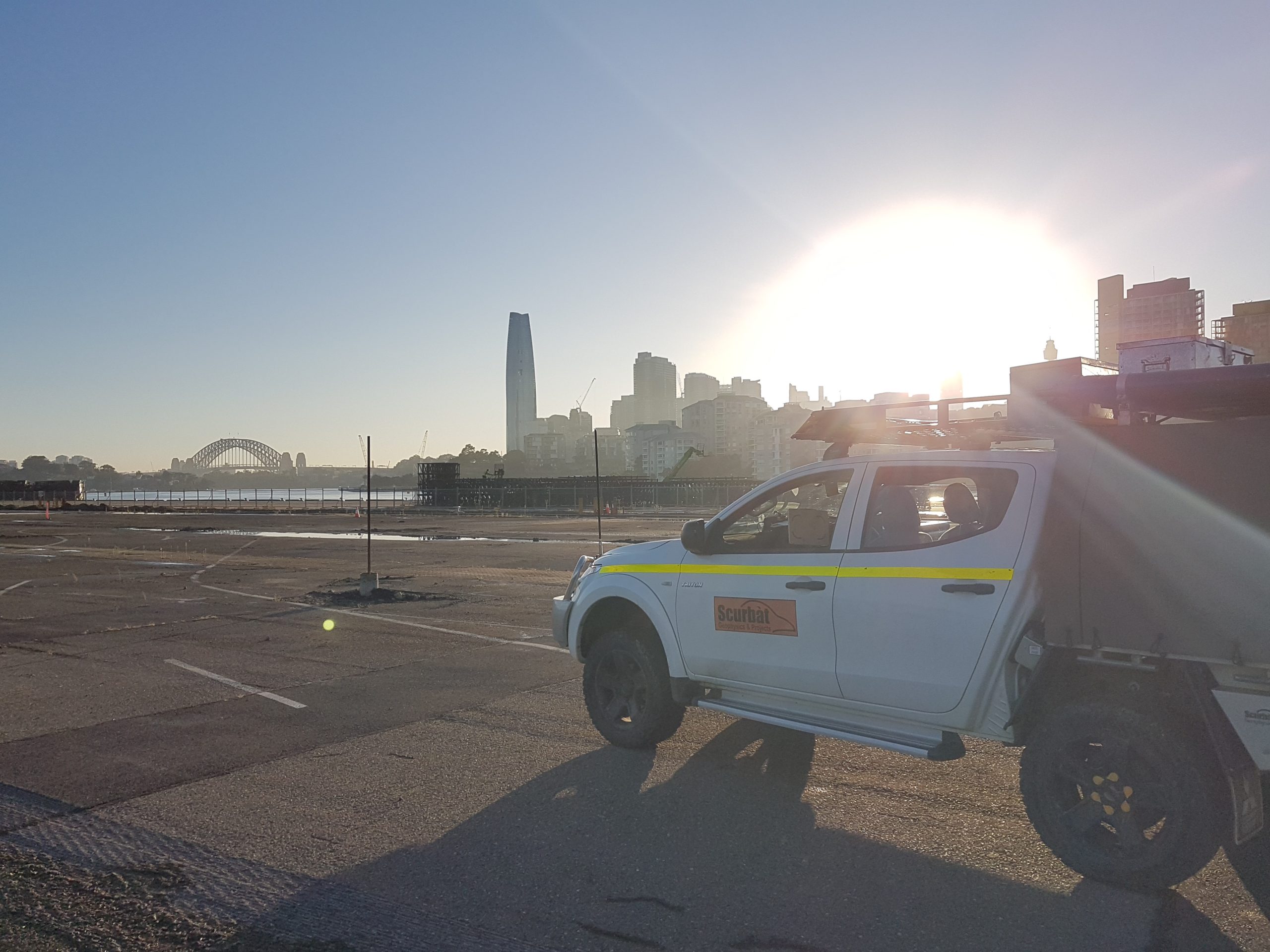
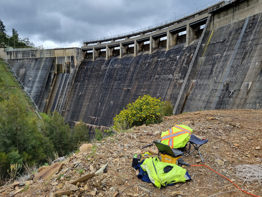
Most of our works are carried out in greenfield and we have developed extensive expertise in dam sites, either existing dams requiring maintenance or upgrades, or at the feasibility/design stage.
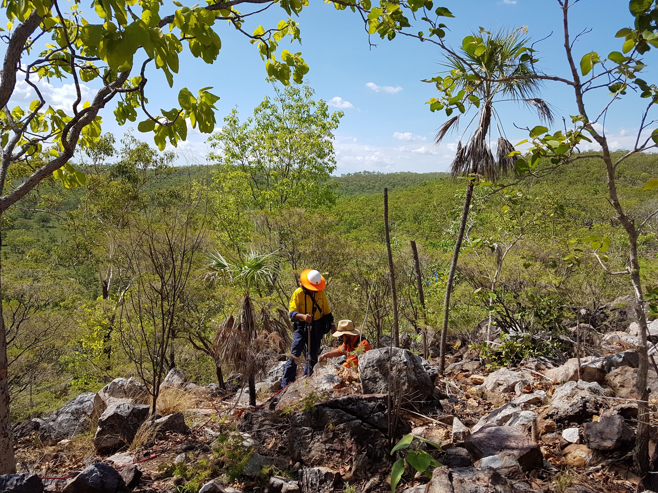
Due to the location of most existing and proposed dams, Scurbat specialises in remote areas and challenging environments. We cover all aspects inherent to remote area work, e.g., health and safety, logistics, equipment (both geophysical and not), staff training and expertise in remote areas.
Applications:
Road (cut/fill and compaction), pavement, geological mapping, foundation, piling, pipelines, Horizontal Directional Drilling (HDD), excavation/trenching/rippability.
Scope:
- Rippability assessment – MASW and SRT
- Depth to rock and soil profile – SRT, MASW, Downhole seismic, GPR
- Rock and soil characterization – SRT, MASW, Downhole seismic
- Fill delineation – MASW, SRT, GPR, EM
- Geological structures/features detection/delineation, e.g., voids/cavity, boulder floaters, faulting and fault zone, dykes, palaeochannels – MASW, SRT, ERI
- Land compaction assessment (pre and post) – MASW
- Elastic moduli for geotechnical parameters (e.g., Poisson’s ratio, Young’s modulus and Shear modulus) – MASW/SRT, VSSP
- Vs30 – MASW, VSSP