Projects
Fiji Shipbuilding and Repair Study, Lautoka, Fiji
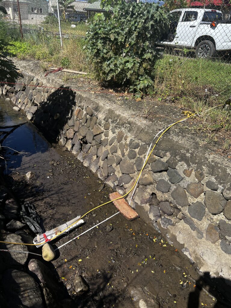
As part of the Fiji Shipbuilding and Repair Study Project in Lautoka, a combined land and marine geophysical investigation was undertaken to characterise subsurface conditions and support the planning and conceptual design of future shipyard infrastructure. The project area is located immediately south of the Lautoka Wharf, extending both onshore across reclaimed and industrial land, and offshore approximately 500 m into coastal waters. The purpose of the geophysical program was to develop an improved understanding of subsurface layering, depth to rock, and geotechnical boundaries relevant to ground stability and foundation design.
Onshore Geophysical Investigation
The onshore component of the work involved the acquisition of Seismic Refraction Testing (SRT) and Multi-channel Analysis of Surface Waves (MASW) data across the project site.
- A total of 12 SRT profile lines were completed using a 48-channel geophone array to map P-wave velocity distributions and estimate depth-to-rock across the land portion of the site.
- 4 MASW profiles and 6 additional 1D MASW soundings were acquired to determine S-wave velocity structure and derive Vs30 parameters.
The onshore seismic datasets provided a continuous subsurface model indicating the transition from unconsolidated fill and natural soils to highly weathered volcanic sedimentary rock. The resulting P-wave and S-wave velocity profiles showed consistent internal structure across the site.
Offshore Geophysical Investigation
The marine geophysical scope comprised Sub-Bottom Profiling (SBP) and Single-Beam Echo Sounding (SBES) surveys to map subsurface stratigraphy and bathymetry within the offshore extension of the site.
- A total of 34 SBP survey lines, including longitudinal and crossline profiles, were acquired using a 350 J Boomer seismic source and hydrophone streamer array to image reflectors beneath the seabed.
- SBES bathymetry was recorded along the same lines to provide seabed elevation control and support tidal and depth corrections for seismic data processing.
Offshore seismic reflection data delineated multiple sub-seafloor stratigraphic horizons down to approximately −50 m MSL, differentiating seabed sediments, weathered rock, and more competent rock at depth. The bathymetry model supported accurate depth conversion and interpretation of the acoustic reflectors.
Integrated Outcomes
Although there is an approx. 70 m physical gap between the land and marine survey areas, the results from both datasets showed strong correlation in interpreted subsurface layering. The velocity-defined interfaces from the SRT / MASW interpreted models closely aligned with key sub-seafloor reflectors observed in the SBP data.