Projects
Redlynch to Woree Cable Route, Cairns, QLD

In December 2024, a Multichannel Analysis of Surface Waves (MASW) investigation was undertaken in Cairns, Queensland, to support the design of a proposed power cable route.
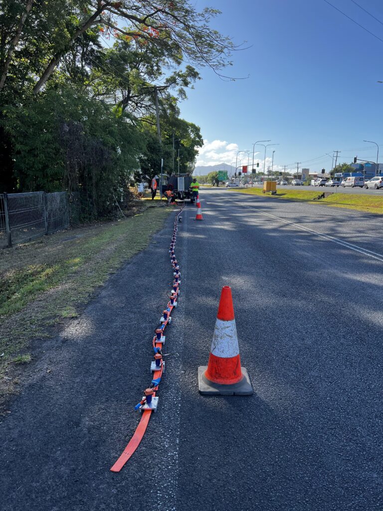
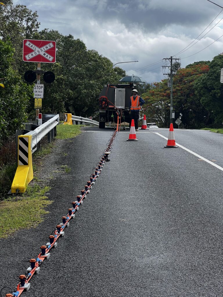
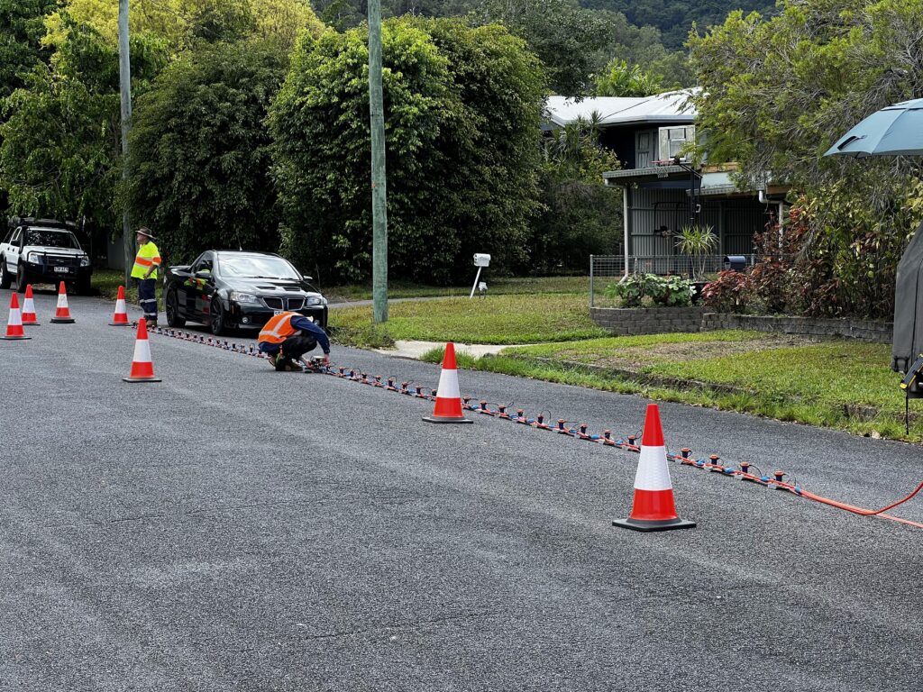
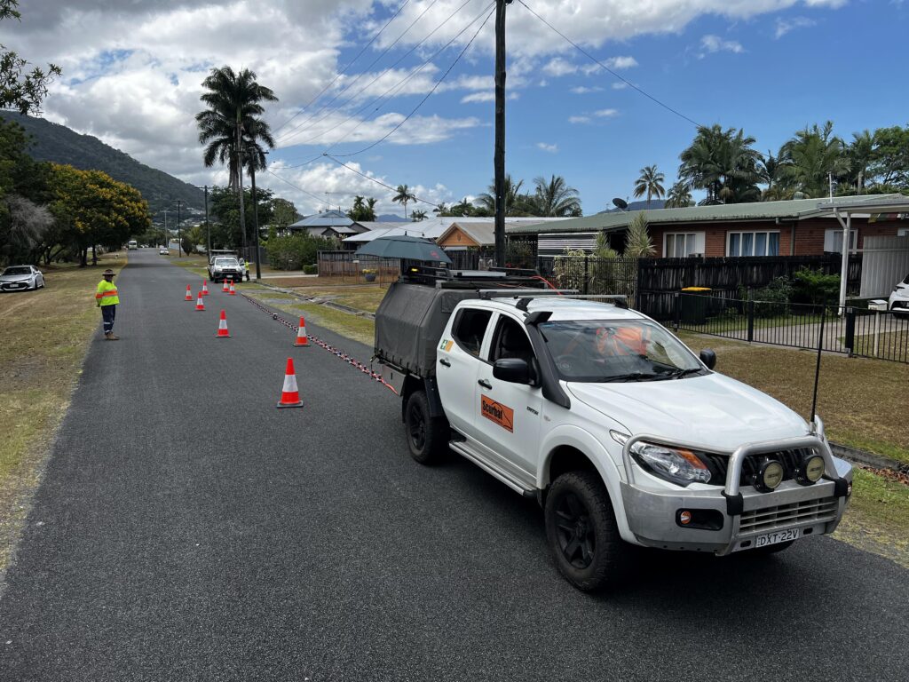
The objective of the survey was to provide geological and geotechnical information on subsurface conditions of 20-25 m deep along the proposed alignment. Data acquisition was carried out using a 48-channel landstreamer with 0.5 m geophone spacing.
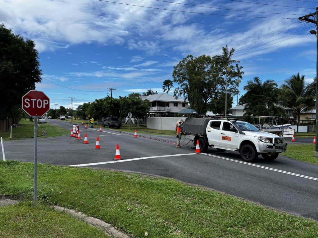
The project was completed within an active road corridor, requiring traffic management throughout the survey. That also included severe seismic noise from passing traffic. To resolve this a Seismic Weight Drop (SWD) was used as the seismic source to generate strong, consistent and low-frequency signal. It worth mentioning additional challenges were temperatures and humidity typical of North Queensland during build-up.
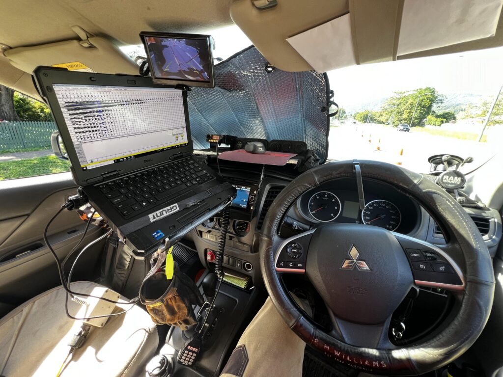
The processed MASW data provided shear wave velocity (Vs) profiles and subsurface stiffness information along the alignment, supporting geological interpretation and geotechnical assessment for the proposed infrastructure.